SERVICES
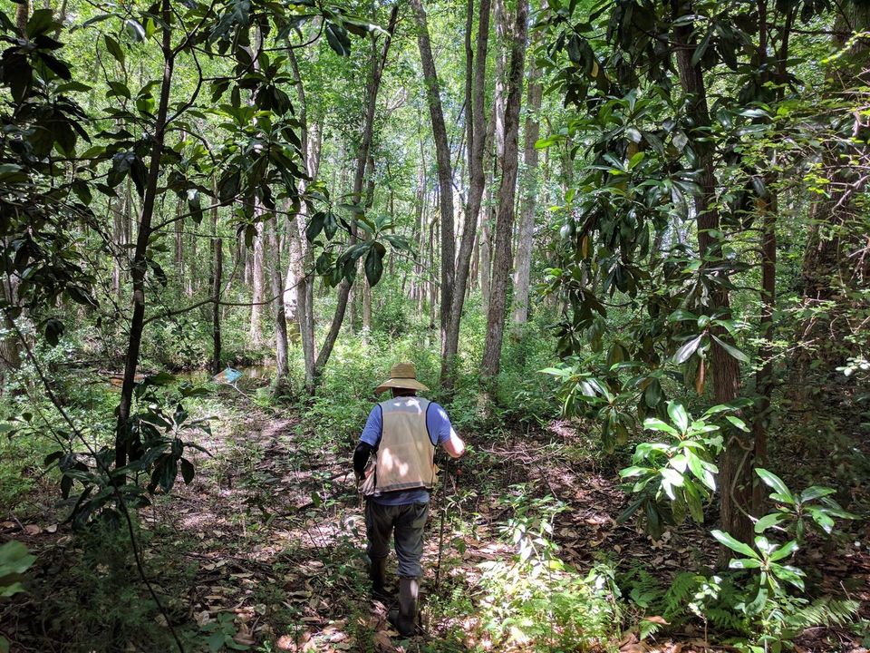
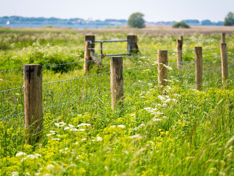
WETLAND DELINEATION
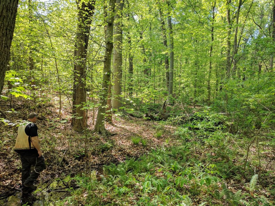
Wetland Solutions provides wetland mapping services by using the most up-to-date resources such as satellite imagery, GPS, and governmental and private sector data. Mapping is usually done to confirm that wetlands exist on a site and the extent of wetlands in that area. Most, if not all, mapping projects require an on-site visit by the environmental consultant in order to determine the extent of wetlands in an area on the property. Wetland Solutions prides itself on Wetland Delineations! From the very small ½ acre parcel up to several thousand acre tracts of land, Wetland Solutions has the experience and is fully equipped to handle your project. By identifying the soils, vegetation, and hydrology, we can give you the best representation of wetlands. We can determine the extent of jurisdictional wetlands and/or waters of the US by using the guidelines set forth in the 1987 Corps of Engineers Wetland Delineation Manual as mandated in Section 404 of the Clean Water Act. We believe it is critical for our clients to get the most up-to-date services, therefore, we maintain knowledge of current regulatory guidelines and commitments such as the Rapanos Supreme Court case ruling and the new Regional Supplement to the Army Corps of Engineers 1987 Wetland Delineations Manual. By staying up-to-date with these changes, Wetland Solutions can offer you the knowledge and reassurance that few can.
404/401 PERMITTING
Wetland Solutions has the experience and knowledge in dealing with Federal and State permitting guidelines and requirements. Nationwide Permits and Improvement Permits (IP’s) are our specialty. When it comes to knowing which permit to apply for and what form of Preservation/Mitigation/Restoration will be necessary for each project, “experience matters.” Wetland Solutions does not charge for verbal consultations regarding permitting or the permitting process for a project. It is Wetland Solutions’ obligation to educate our clients in the most direct and efficient way to accomplish our clients’ objectives.
WETLAND RESTORATION
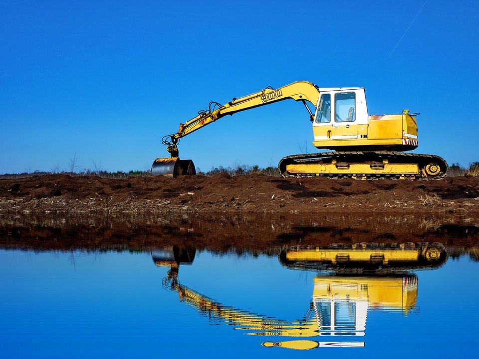
Wetland restoration can be a viable form of mitigation for wetland impacts. Restoration can be a long process that goes beyond site selection, design, implementation and maintenance. Regulatory agencies require that the restoration site be monitored for a period of three to five years. Part of that monitoring involves preparation and submittal of a yearly report based on data collected at the site. Monitoring is normally required for all associated wetland parameters; hydrology, vegetation survival and soil. These reports are necessary to show that the desired parameters are being met or identify areas that need additional work (such as vegetation mortality or soil erosion). Wetland Solutions can provide these services from restoration plan preparation to maintenance and monitoring.
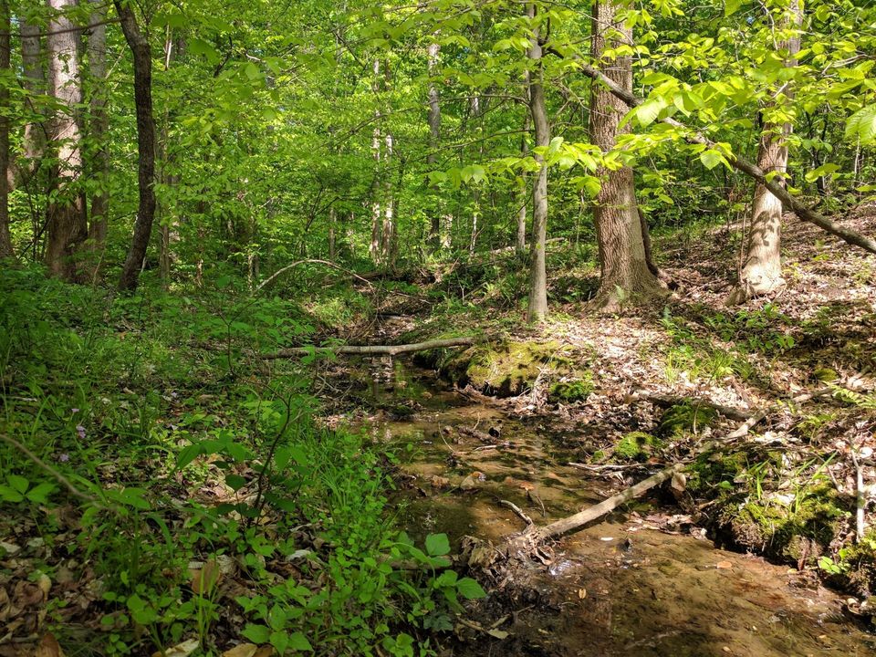
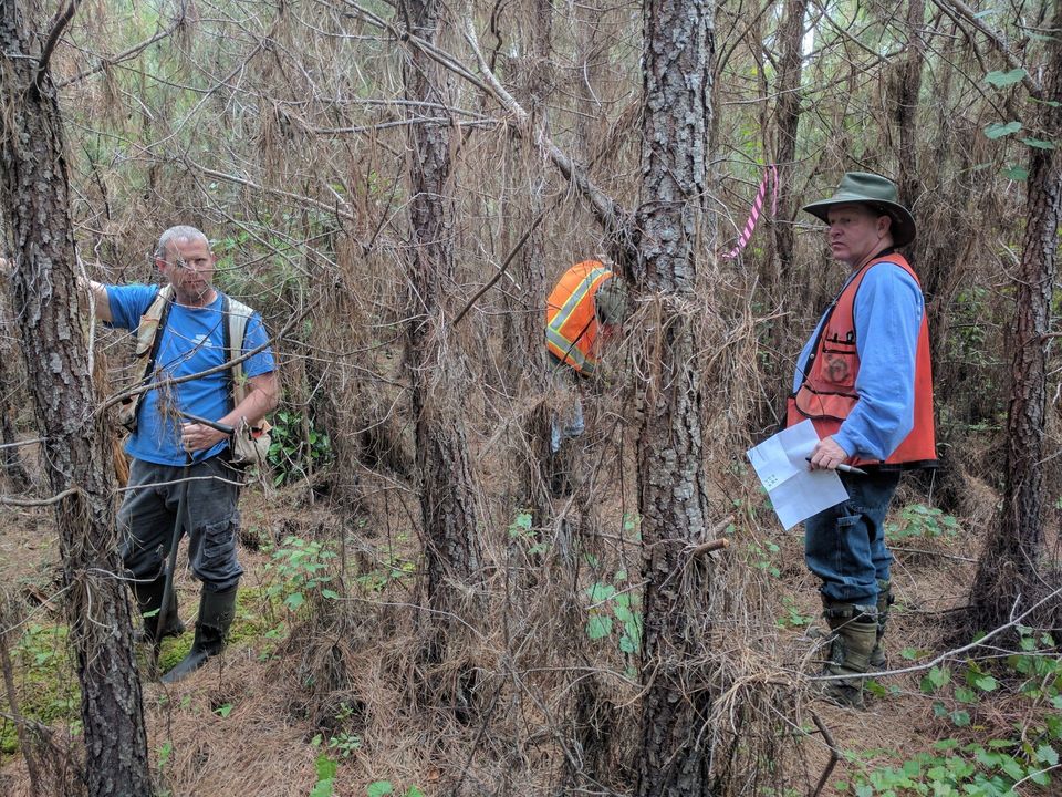
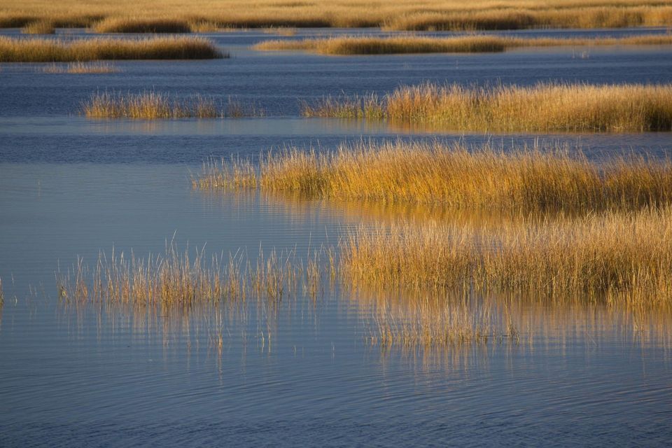
STREAM IDENTIFICATION
Wetland Solutions is certified to conduct stream type identifications in accordance with the Division of Water Quality’s “Identification Methods for the Origins of Intermittent and Perennial Streams; Version 3.1”. Stream type determination is important in determining jurisdiction under section 404 of the Clean Water Act and for determining jurisdiction under NC Department of Environment and Natural Resources, Administrative Code Section 15A NCAC 2B .0100. Streams may or may not have jurisdictional buffers depending on the stream type and the river basin in which they are located. It is important these streams and/or buffers are identified before any project activity begins.
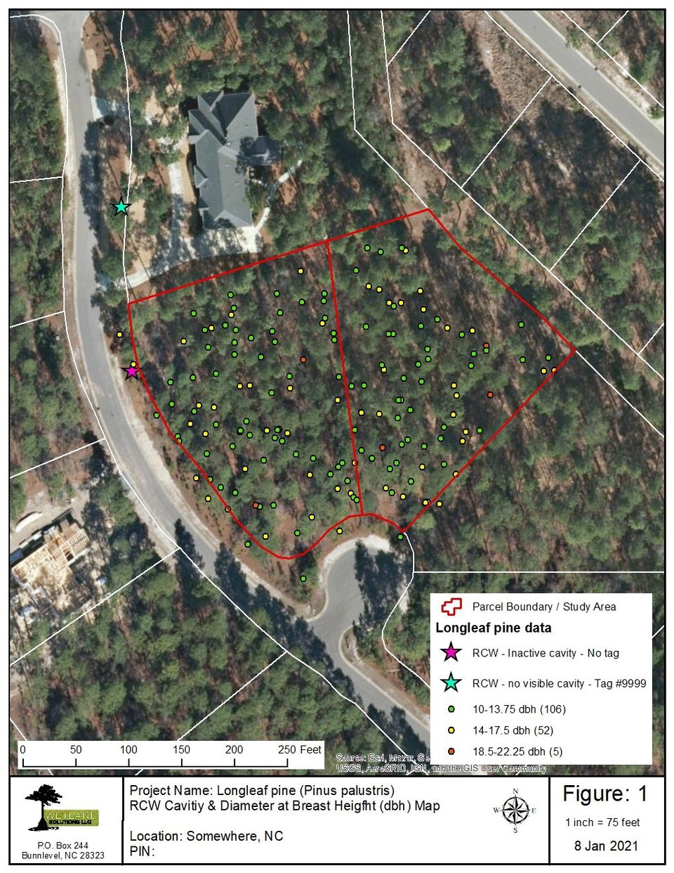
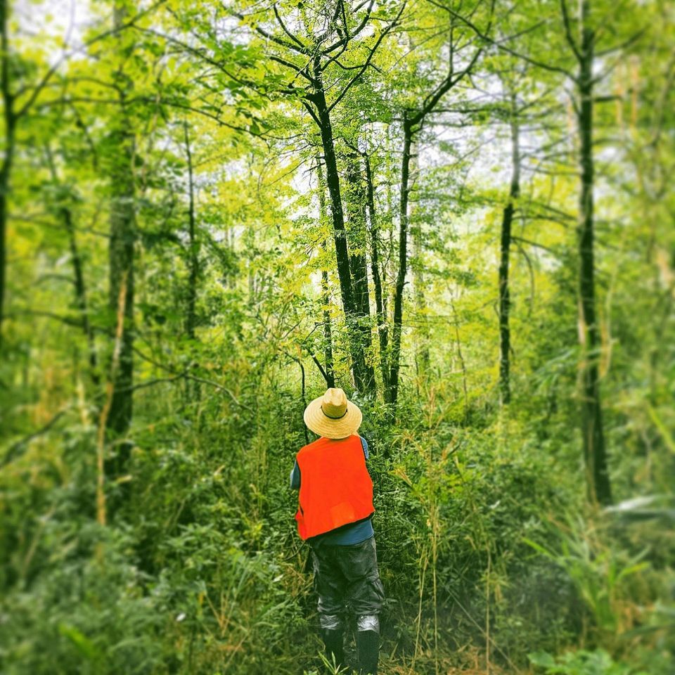
BIOLOGICAL ASSESSMENTS
Wetland Solutions can prepare biological assessments or evaluations for projects such as residential and commercial developments, utility lines and roads. These assessments vary depending on the location and scope of the proposed project, but are often necessary for projects that will require a federal permit or involve the expenditure of federal money. Biological assessments will normally involve conducting surveys for protected plant and animal species. Consultation with the US Fish and Wildlife Service and other regulatory agencies is a normal part of the assessment process and Wetland Solutions has an excellent relationship with both state and federal agencies.

PHASE ONE ASSESSMENTS
Phase One Assessments are a necessary component for many development projects. We are experienced in the delivery of such assessments to STMA Standards. We would be happy to utilize our skills to deliver such an assessment for your next project.
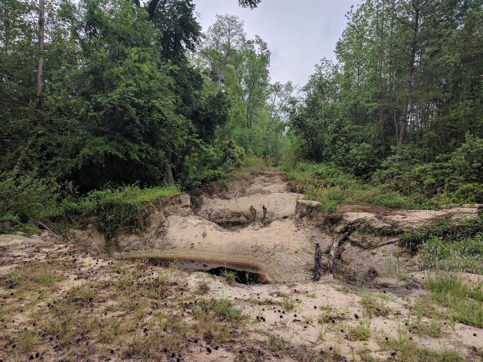
ENVIRONMENTAL RESTORATION
Restoring and even improving an ecosystem ensures long term health of an area. We work to assess the original condition of a site, the nature of an impact and the best option for restoration of the site to its most ideal, yet feasible, condition.
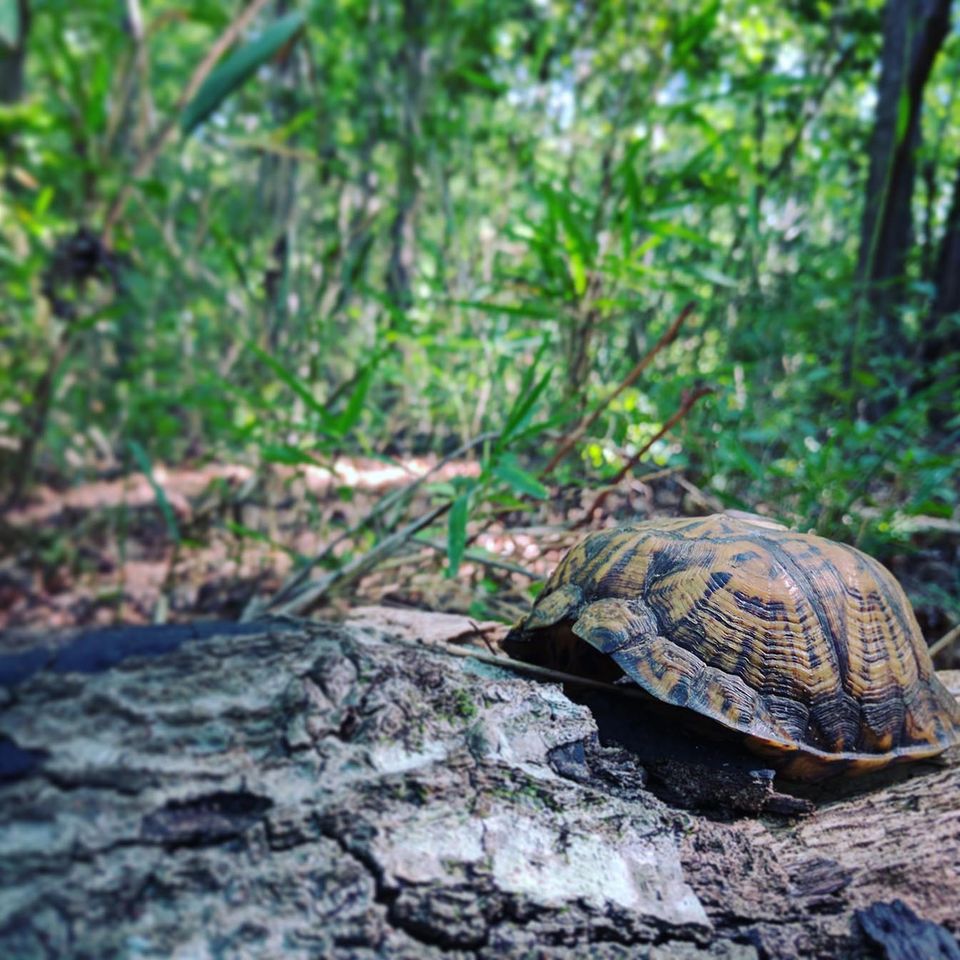
ENDANGERED SPECIES
Identifying and managing the presence of endangered species is crucial. We carefully research each site to determine what species of interest may be present. We then complete a robust on-site assessment of potential habitat to determine if species are present. If species are present then we work with the client to ensure compliance with minimized project impact.
NOTICE OF VIOLATIONS
A Notice of Violation can be a serious issue for the progression of a project. We are experienced in addressing such issues in a timely and efficient manner. Let us help you stay on track with your project.
MITIGATION BANKING
Setting up and managing a mitigation bank is a long term project that requires significant skills across a range of tools and techniques. We have those skills and would enjoy putting them to work for you.
CAMA PERMITTING
CAMA permits are unique to our coastal counties but we have worked on a range of projects in each of these counties. Let us add you to our list of successful CAMA permitting projects for our coastal communities.
ATTRIBUTE ASSESSMENT (Pre-Purchase & Conservation)
Knowing what you have is essential for many property related decisions including purchase or the establishment of a conservation easement. We can provide that crucial information to help in your decision.

HUNTING ASSESSMENT
Taking numerous factors into consideration is essential for determining the hunting potential of a tract. From vegetation to topography and wildlife observations, we can put the picture together for you.